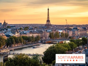
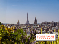
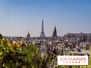
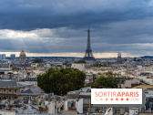
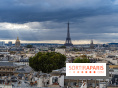
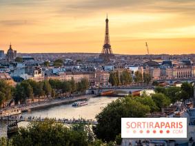
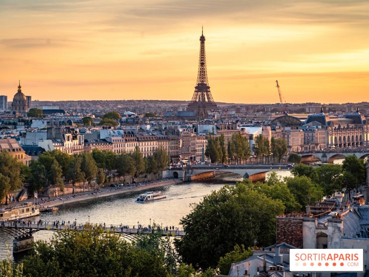
Friday July 18 promises to be the hottest day of the week in Paris and the Île-de-France region, with a heat peak expected in the afternoon. But this brief summer spell will quickly give way to a radical change in the weather on Saturday, with the return of thunderstorms and much cooler weather. Here's what's in store for you over the next few days.
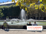
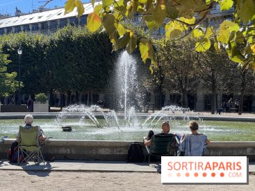
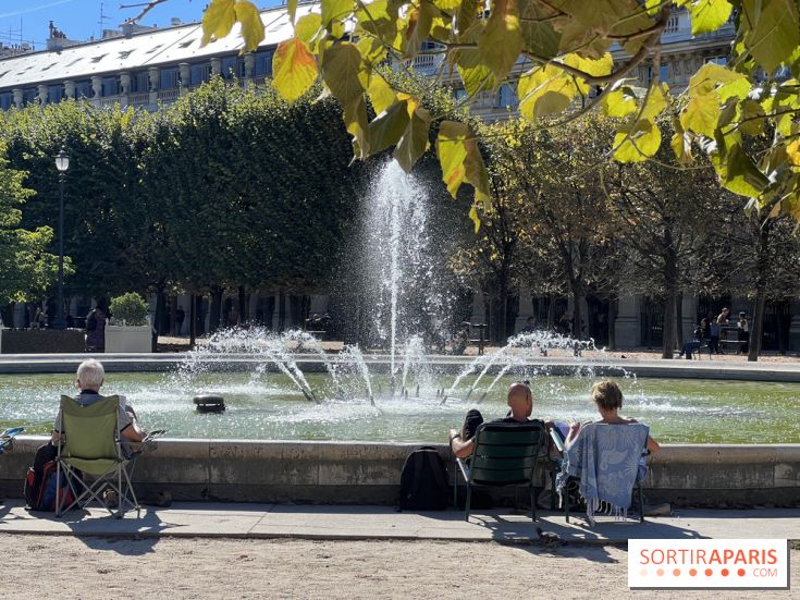
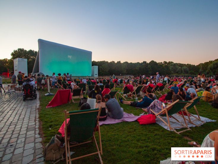
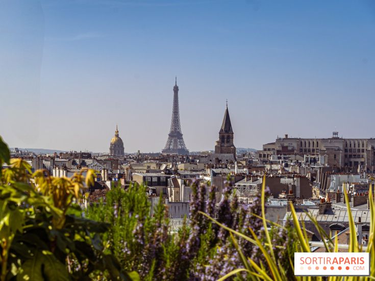
Get your sunglasses and light clothing ready: on Friday, the thermometer in Paris is set to soar. Temperatures will climb to 33°C in the afternoon, under largely clear skies. This will be the perfect opportunity to enjoy the terraces, stroll through the parks or visit the monuments without an umbrella in hand. A foretaste of summer... but short-lived.
The calm won't last. From Saturday morning, the skies will become progressively overcast before the arrival of a line of thunderstorms in the early afternoon. Sustained showers, sometimes accompanied by gusty winds, are expected throughout the Île-de-France region. Météo France is calling for vigilance, particularly in view of the heat still present on the ground, which could increase the intensity of the storms. Caution is therefore advised for outings and outdoor events.

OnSunday July 20, the weather will continue to turn nasty. Under the influence of a low-pressure system from the British Isles, a rainy disturbance will settle over the Paris region. Temperatures will plummet, with highs around 24°C in Paris. Skies will remain gray for much of the day, with frequent showers that could locally take on a stormy character.
A weekend in two parts, between summer heat and stormy refreshment: a typical Parisian summer weather cocktail, to be managed day by day!
Dates and Opening Time
From July 18, 2025 to July 20, 2025